-
Call Us (918) 426-6006
-
Email Us info@worldclassranches.com
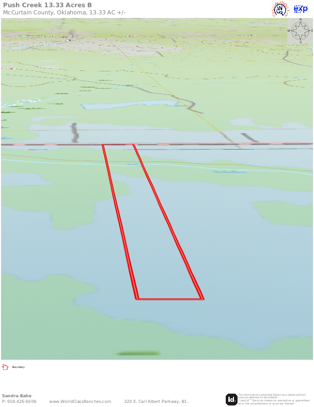
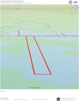
Push Creek 13.33-B - $83,312.50


Property Details
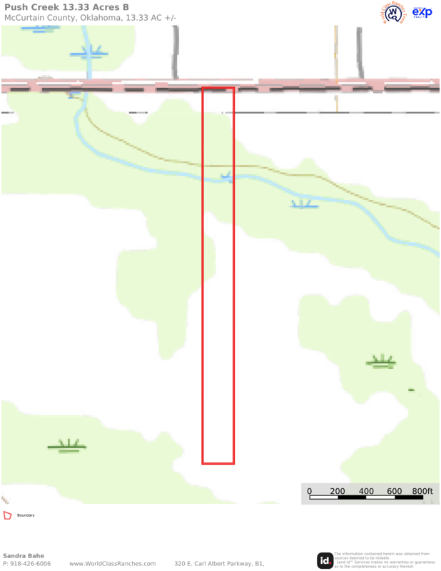
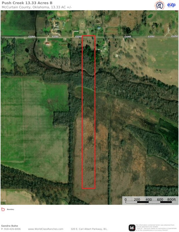
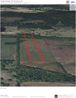
- Name of Property: Push Creek 13.33-B
- Status: New
- Acreage: 13.33
- Location: 168 mi. to Dallas; 56 to Texarkana, TX
- Closest Town: Idabel
- Access: County Road
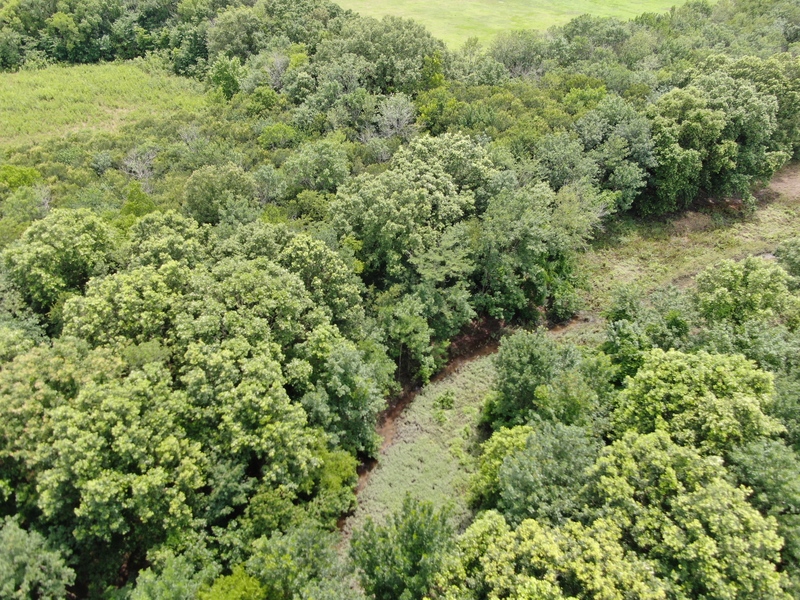
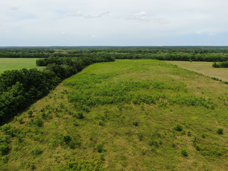
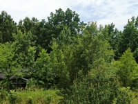
- Topography: Flat pasture and forest
- Forage: Bermuda and Native grasses
- Capacity: 1-3 head
- Water: Push Creek
- Wildlife: Deer, turkey, dove, squirrels, etc.
- Utilities: Rural water, electric at road
- Development Potential: yes
Comments
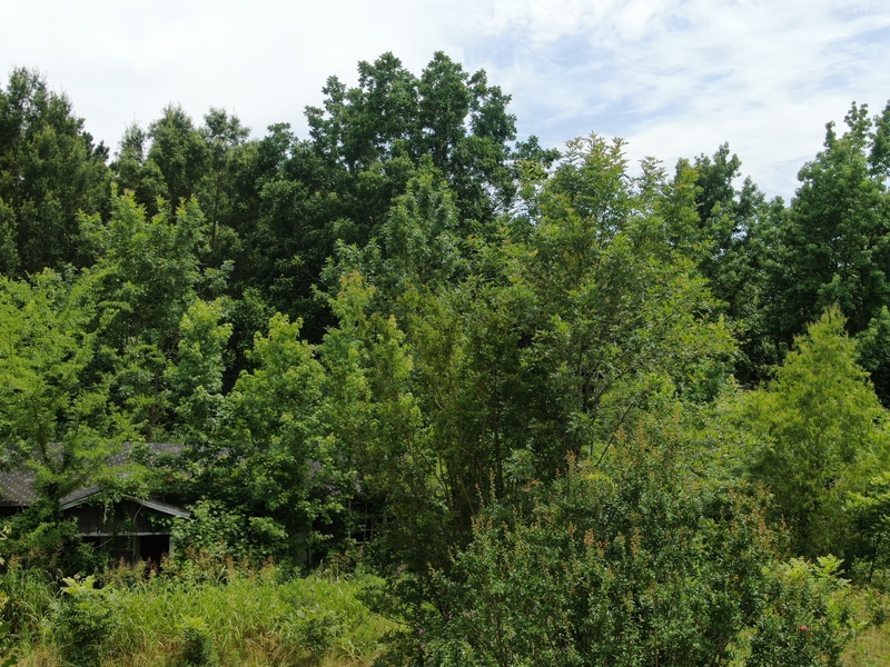
This gorgeous 13.33 acres is located about one mile north of the Red River and about one-half mile from the Ouachita National Wildlife Refuge in McCurtain County, Oklahoma. (The Adjoining 13.33 acres is also for sale.) Just ½ mile off the highway this property has so much to offer. A county road goes the full length of the northern boundary. Rural water and electricity is at the road. Push Creek runs the full width of the land just south of the cabin. Open pasture provides forage for cattle or wildlife that you may want to attract. The close proximity of the Wildlife Refuge opens up many opportunities to explore the great outdoors conveniently and at your leisure.
The Ouachita National Forest covers nearly 1.8 million acres in central Arkansas and southeast Oklahoma. It is the oldest and largest National Forest in the Southern Region. When first established by President Theodore Roosevelt in 1907, it was named the Arkansas National Forest. President Calvin Coolidge renamed it to Ouachita in 1926. Ouachita (pronounced wash-i-tah) is the French spelling of a Native American word meaning "good hunting ground."
The Ouachita is primarily a pine-hickory mix. It has over 700 miles of trails for various activities such as hiking, mountain biking, interpretive, equestrian, off-road vehicles, and trails that allow for accessibility. There are multiple developed recreation areas, scenic areas, vistas, shooting ranges, historical sites, wilderness areas, and one National recreation area. Most of the developed recreation areas are open April through September, but some sites are open year-round. Contact one of the Forest Service offices for more information regarding open seasons and fees.
With mild winters and an average annual rainfall between 42 and 52 inches per year the area is conducive to growing a lot of fruits, vegetables, flora and fauna.
Call Sandy Brock Bahe at 918-470-4710 or Toll Free at 844-WCR-LAND with questions or to view.
Also Print & Download Complete Color Brochures. *Example of information to which you will have access.

320 E. Carl Albert Parkway, B1
McAlester, Oklahoma 74501